How Does LiDAR Drone Technology Work for Land Surveying & Site Mapping?
A Different Kind of Survey Crew
If you've worked on a major infrastructure project recently, you've probably noticed the survey crew looks different from it used to. Where there was once a large team spread across a site with measuring equipment, there might now be a single operator with a drone. That shift is real, and it's changing what project teams can know about a site before construction begins.
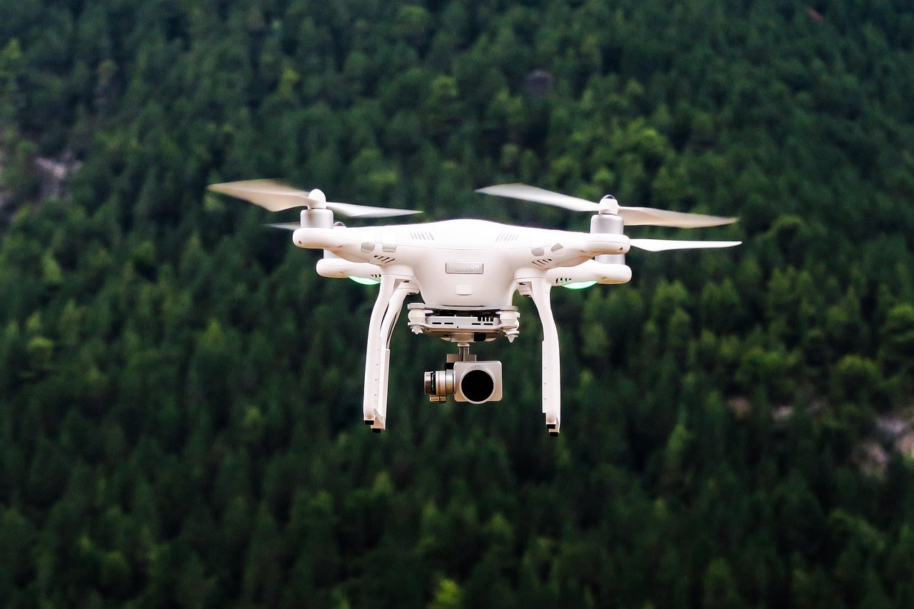
What LiDAR Actually Does
LiDAR — short for Light Detection and Ranging — fires thousands of laser pulses per second, recording how long each takes to return. The result is a dense three-dimensional point cloud of the surrounding terrain and structures. Mounted on a drone, this kind of precision aerial survey can map complex sites in a fraction of the time a ground crew would require.
The Numbers Behind The Shift
The growth in aerial surveying isn't just a trend. The global construction drone market is projected to reach $19 billion by 2032, driven by adoption across infrastructure, energy, and development sectors. Research from the Federal Highway Administration found that UAV-assisted surveys can reduce costs by 30 to 50 percent compared to traditional methods, while producing more comprehensive data for engineering and design teams.
Speed Is A Real Advantage
One of the clearest advantages is speed. A drone equipped with LiDAR can cover hundreds of acres in a single flight, and the resulting data can be processed into usable deliverables — elevation models, cross-sections, surface comparisons — far faster than conventional survey methods allow. On long linear projects like highway corridors, utility routes, or rail alignments, the time savings are especially significant.
Don't Overlook The Safety Factor
Safety is another factor that often gets overlooked in these conversations. Traditional survey work regularly puts crews in difficult positions — near live traffic, on steep embankments, over water, or in areas with unstable ground. Aerial methods reduce or eliminate that exposure. Collecting data remotely doesn't just save time; it keeps people out of situations where the risk of injury is real.
3D Laser Scanning On The Ground
Drone LiDAR isn't the whole picture, though. Terrestrial 3D laser scanning — where a ground-based instrument captures millions of data points from fixed positions — remains the preferred approach for highly detailed structural work. Roadway interchanges, bridge decks, retaining walls, and tunnels are all candidates. The resulting models give engineers a level of spatial detail that drawings and photographs simply can't match.
What's Underground Matters Too
Subsurface utility mapping is a related area where accuracy is equally critical. Locating buried pipes, cables, and conduits precisely before breaking ground is one of the most important steps in any civil project. Modern locating methods, combined with detailed surface survey data, give construction teams a more reliable picture of what's underground — reducing the risk of strikes, stoppages, and the costs that follow.
Earlier Data, Better Decisions
Taken together, these technologies are changing when and how project teams get the information they need. Accurate spatial data from the survey phase feeds directly into decisions about design, earthworks, and construction sequencing. The earlier that data is in hand, the more informed every downstream decision becomes — and the fewer costly adjustments tend to arise later in the build.
The Tools Have Changed. The Fundamentals Haven't.
The tools have improved considerably, but the fundamentals of good survey practice still apply. Data is only useful when it's collected carefully, processed correctly, and delivered in a format engineers can work with.
Lowry Surveys Inc
City: Madera
Address: 10878 California 41
Website: https://www.lowrysurveysinc.com
Phone: +1 559 645 4849
Email: sales@lowrysurveyinc.com


Comments
Post a Comment